Table of Contents Show
When it comes to successful construction, what happens before the first shovel hits the dirt is just as important as the build itself. One of the most critical early steps is a topographic survey. Often overlooked by first-time property owners or developers, this type of survey can reveal crucial details about a site that affect everything from design to budgeting.
In this article, we’ll explore what a topographic survey is, why it’s a vital tool before construction begins, and how it can ultimately save time, money, and headaches down the road.
Whether you’re planning a residential build, a commercial development, or even just buying land, understanding the terrain is key to making informed, efficient, and safe decisions.
Related reading: Most Important Considerations When Buying Land to Build a Custom Home
What Is a Topographic Survey?
A topographic survey (also known as a “topo survey”) is a detailed mapping of the natural and artificial features of a parcel of land. These surveys go beyond the boundaries of a property — they capture:
- Elevation and contours
- Natural elements like trees, hills, slopes, water bodies
- Man-made features such as buildings, fences, roads, and utilities
- Drainage patterns and soil composition
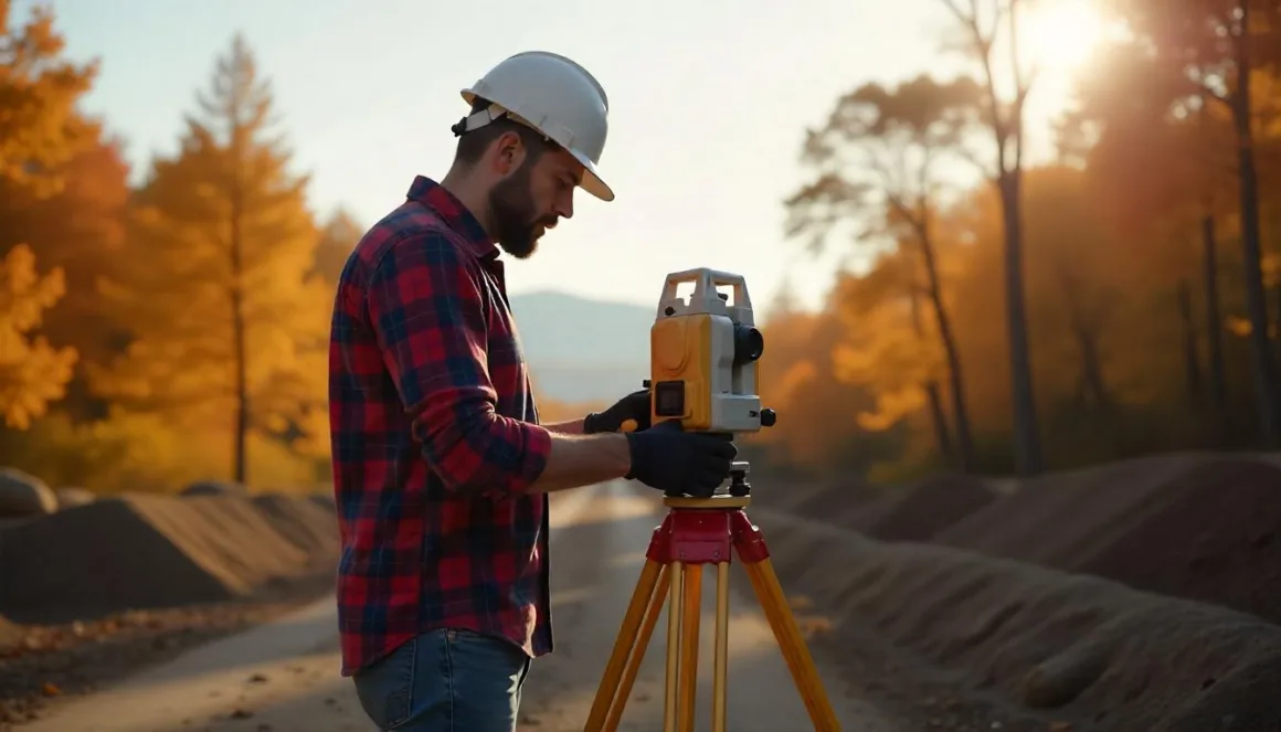
The results are usually presented as a scaled map or 3D model, often used by architects, engineers, and construction teams to design and plan effectively. Surveyors use a combination of tools including total stations, GPS, 3D laser scanners, and even drones to gather accurate data.
Think of it as the site’s “blueprint of reality.” Without it, you’re building blind.
Benefits of a Topographic Survey Before Construction
1. Accurate Planning and Design
A topographic survey lays the groundwork for smart design. Understanding the site’s slopes, elevations, and terrain allows architects to adapt their plans to the land rather than forcing the land to accommodate the design. This can result in better site integration, improved aesthetics, and fewer changes during construction.
For example, a building on a sloped site may require retaining walls or stepped foundations — details that must be known early in the design process.
2. Preventing Costly Surprises
Unseen site conditions are among the top reasons construction projects go over budget. A topographic survey can reveal issues such as:
- Low-lying areas that may flood
- Erosion-prone slopes
- Underground utilities that could interfere with excavation
- Soil instability or high water tables
Knowing about these challenges upfront enables proactive planning and budgeting. It also helps contractors avoid mid-project redesigns that can delay timelines and inflate costs.
Related reading: The Importance of Surveying in Construction Projects
3. Regulatory Compliance and Permitting
Many councils or local authorities require a topographic survey as part of the building consent process. The survey ensures that:
- Setback requirements are met
- Developments do not infringe on protected zones
- Grading and drainage plans meet environmental standards
Even when not legally mandated, a topographic survey can streamline the permitting process and reduce the risk of rejections or revisions.
4. Better Stormwater and Drainage Design
Water runoff is a major concern in construction. Poorly planned drainage can lead to erosion, foundation damage, or even legal liability for affecting neighboring properties. A topographic survey gives engineers the data they need to:
- Model stormwater flow
- Plan effective drainage systems
- Ensure compliance with environmental regulations
5. Efficient Earthworks and Grading
If you’re moving earth, pouring foundations, or building retaining structures, knowing the existing contours of the land is vital. A topo survey informs:
- How much soil needs to be cut or filled
- Where retaining walls or terraces are required
- How to minimize disruption to the landscape
This not only saves on equipment and labor costs but also helps protect the site’s natural integrity.
6. Accurate Bidding and Contracting
With detailed topographic data, contractors can provide more accurate bids and reduce the risk of variation orders later on. This leads to:
- Clearer scope of work
- Fewer disputes
- More predictable project costs
It also benefits property owners and developers who want tighter control over budgets and timelines.
7. Foundation and Structural Planning
The condition of the land influences what kind of foundation is suitable. Flat, stable land might allow for a slab foundation, while sloped or unstable terrain could require piles or deeper footings. A topographic survey provides data that geotechnical engineers and structural designers need to make these calls with confidence.
8. Facilitates Collaboration Between Professionals
When survey data is shared early, all parties involved — from civil engineers to architects to builders — can work from a single, reliable reference. This improves communication, coordination, and overall project efficiency.
Conclusion
Topographic surveys may not be the most glamorous part of construction, but they are undeniably one of the most important. By providing a clear understanding of the land, they help avoid costly surprises, streamline the design and approval process, and ultimately contribute to safer and more successful builds.
If you’re considering building or developing a property, make sure a topographic survey is part of your early planning. It’s a modest investment that can save you thousands — or even tens of thousands — in the long run.
Frequently Asked Questions
Topographic surveys offer crucial insights into the land’s existing conditions. This allows developers to design buildings and infrastructure that are compatible with the terrain, minimizing environmental disruption and maximizing land usability. For large developments, it can even influence zoning or subdivision plans.
Absolutely. Surveys can reveal low-lying areas prone to flooding, slopes that may require reinforcement, or natural features like large trees or rock outcrops that could impact development. Identifying these issues early on allows for smarter planning and risk mitigation.
While not always legally required for every type of project, many local authorities will request a topographic survey as part of the building permit application, especially for larger builds, subdivisions, or developments in environmentally sensitive areas. Even if not mandated, it is strongly recommended as best practice.