Table of Contents Show
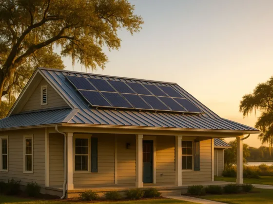
Investing in real estate is a big decision. Thus, veteran property investors use drone services before buying any property. That’s because real estate can be the safest investment if bought with caution and common sense.

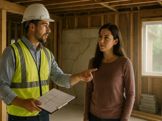
Realtors hire surveyors for property valuation. They do this to learn about potential and pending liabilities and risks linked with property ownership. Land Surveyors inspect buildings and land with LiDAR drones for aerial imaging and a better understanding of land boundaries.
The incredible technology is serving them great benefits. Wonder how? Let’s find out.
What are the Benefits of Using Drone Services in Land Surveys?
With technological advancement, various automation solutions are on the rise. These innovations have become significant for businesses as they allow them to become more efficient and generate improved results.
Drone Surveyors Gloucestershire technology for real estate businesses helps the industry with its redeeming and supportive nature. Truth be told, drone services allow real estate investors to make more informed and calculated decisions.
Many realtors now use drones for land surveys for the following reasons:
1. High-Quality Aerial Imaging
Drone technology offers real estate businesses highly creative and impactful visual content. With real estate drone services, LiDAR drones can monitor and record aerial imagery thanks to the mobility of Unmanned Aerial Vehicles or UAVs, which accounts for quick movement.
UAVs prove to be a unique option for project development. They provide stunning aerial imaging and highly detailed footage across various angles.
Drones also play a vital role in real estate marketing with their high-quality cameras and intelligent sensors. In addition, they produce innovative content that helps realtors engage more potential customers.
Read Also:
2. Drones for Real Estate Lead to Better Listings
Drone photography has dived into an ocean of versatility and serviceability with its robot nature. Drones spark interest and curiosity in people with their genius visual content and aerial photography.
Realtors benefit from this technology and attract more customers. With drone imagery, mapping, 3-D models, and much more, real estate listings have taken a new form for marketing.
If realtors had not adopted this technology, they couldn’t test the power of this incredible marketing tool. Drone technology has allowed site sales and listings to reach new heights.
The invention is used by many people today. Such that the FAA and DGCA have announced important regulations and rules to manage drone use in various areas.
3. Accurate Ground Quality Assessments and Land Mapping
All real estate operations should be accurate and precise regardless of their importance.
Operators use drone photography for their 3D models, mapping, inspection, and aerial surveillance to produce highly accurate measurements. This allows them to become efficient and make better decisions.
Additionally, drone technology used for residential real estate is designed for correct data collection and navigation. Not only that, real estate photography encourages precise measurements for commercial real estate by offering accurate UAV data and drone imagery.
4. Highlight Significant Property Features
UAVs offer realtors a pathway to success. They cover various angles of the property. Thus, helps realtors evaluate the property from every aspect. UAVs also reveal several hidden and attractive features that can be handy for acquiring customers.
Additionally, with high-quality images and videos, LiDAR drones help customers explore the property freely.
Drones are also extremely helpful due to their mobility in remote areas. Since checking a property from angles in such locations seems impossible, drone technology solves the issue for good.
5. Land Mapping
Land developers can quickly and effectively assess the area for potential development sites using a drone.
They can decide whether their new business can succeed by looking at surrounding streets, the types of businesses in a location, architectural styles, or other aesthetically pleasing characteristics like the local road system and vacant lots.
6. Generate More Sales
Whether you own a small business or small, sales are the game changer in every industry. Generating new business in real estate is very important for better cash flows.
With the assistance of high-tech drones, real estate businesses can make significant profits and get more clients.
You can offer your customers a virtual tour of the site. Additionally, clear and vivid images can help clients check several details. With mapping and aerial imagery, UAVs let clients understand the pros and cons of buying a property. Thus, helping them make better decisions.
7. Save Costs
Drones can save time, cost, and effort. They are also adept at improving the quality of operations. By using such innovative technologies, realtors become highly efficient.
Drone technology is also helpful for making real estate business cost-effective and more productive.
8. Contrasting and Comparison
Aerial photos and videos have driven the real estate industry for decades. The overhead perspective assists contractors in complying with crucial standards and examining local laws that can impact construction sites or surrounding projects.
Real estate developers can also verify workmanship at each level of building design development by using this technology.
9. Outsmart Competitors
Drone services are impactful and here to make a change. It plays its role in revolutionizing marketing strategies for various industries. With better marketing, businesses can gain more customers and reduce competition significantly. This way, they can improve their performance and productivity over time.
Drone photography offers several creative opportunities. From the best 3D models to creative aerial photography and stunning shots, UAVs allow realtors to market properties more prominently and lead the market.
10. Reduced Site Viewing Time
Drone technology has an active influence on the real estate industry. That’s because they can fly almost anywhere. They have incredible mobility and swiftness. Thus, they can be used for land surveys in various parts of the globe.
They offer smooth footage and detailed views. For realtors, this makes a huge difference. If customers can see their property completely in less time, they can be instantly interested in the deal.
Final Thoughts
Drones offer realtors several opportunities to grow their businesses. These UAVs are useful for land surveys since they provide accurate measurements for precise calculations.
Drone services are vital for gaining clients’ trust, which is the foundation of any business. It offers customers a unique buying experience and increases their interest. Moreover, it is a valuable innovation for its incredible features like HD images, 3D models, and mapping.